Information in quotations are taken directly from the Directions for Self-Guided GEOL 112 Field Trip to Glenwood Canyon Area handout and Road Log by Dr. Rex Cole, PhD.
First stop: No Name. No, really. Its name is No Name. We got a very early start. Just look at our breath!
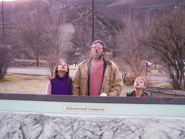
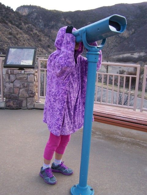
Rhetta got cold so I gave her my coat. I am such a nice if not frozen momma. She enjoyed looking at the formation through the viewer. Willon meantime ran around in circles. We're still not sure he's not a puppy.
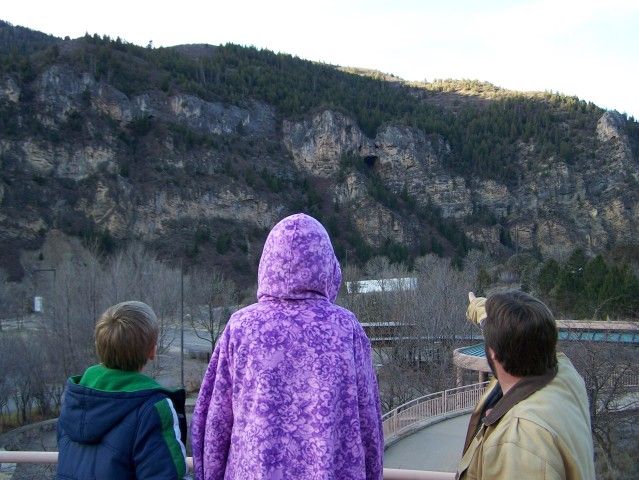
Here they are looking at a cave in a layer of thick Cambrian-ordivician limestone and dolomite. Bored yet? Me neither.
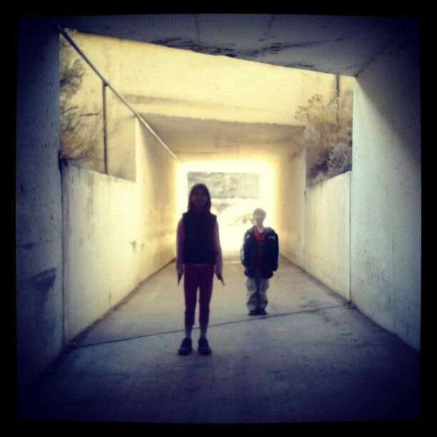
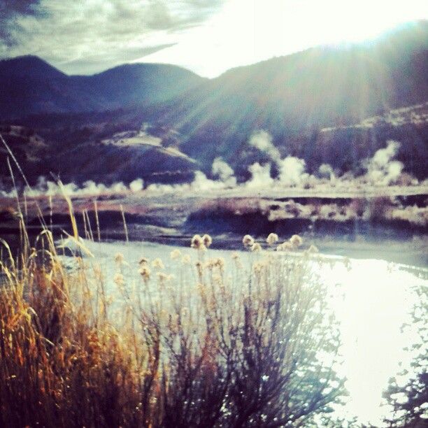
Stop #2 was a place called Dotsero. We had to walk under I-70.
Beauty awaited on the other side. The Glenwood Canyon region is fraught with hot springs. In this spot along the Colorado River a hot spring empties into the river. The kids asked a lot of questions about the difference between steam and regular evaporation.
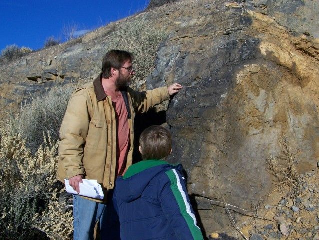
Rob points out "dark limestones of the upper Leadville Limestone and the red mudrocks (stain) of the overlying Molas Formation, which fills in karst pits and caverns in the Leadville. The Molas (Pennsylvanian) records the start of Phase 2 (Colorado orogeny). Also, down river are excellent exposures of the Cambrian through Mississippian strata." Willon for a change was rapt.
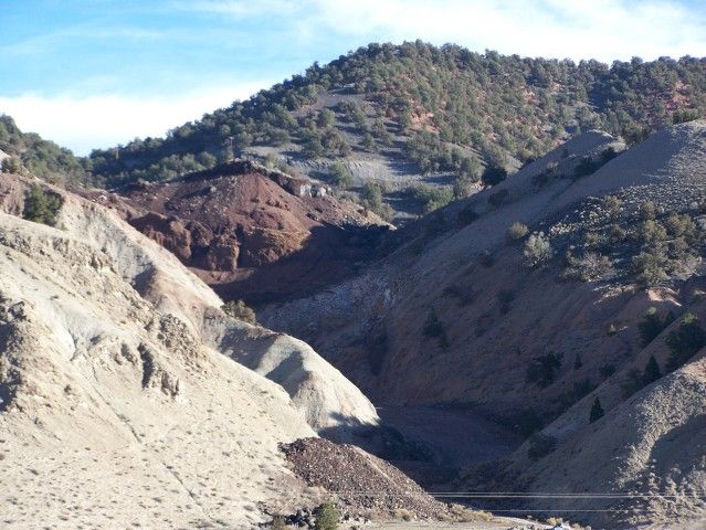
Nearby, in a small water skiing park (a reclaimed gravel pit), stands a "blocky basalt flow that is about 6,000 years old (the youngest in Colorado)." A short way up the road are "[s]everal rusty-brown cinder cones", the source of this lava flow - the youngest volcano in Colorado.
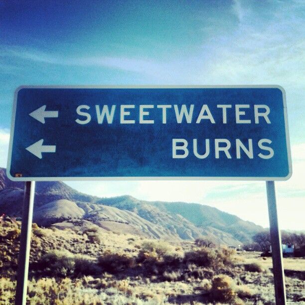
Who knew along the way we'd find the perfect name for a Blues artist? We think this should be the album cover for Sweetwater Burns, the famous (ficticious) blues guitarist.
"These are gypsum deposits and dark shales of the Eagle Valley Evaporite (Pennsylvanian). Because of salt flowage and dissolution, the gypsum and mudrocks are badly deformed." Photobomb!
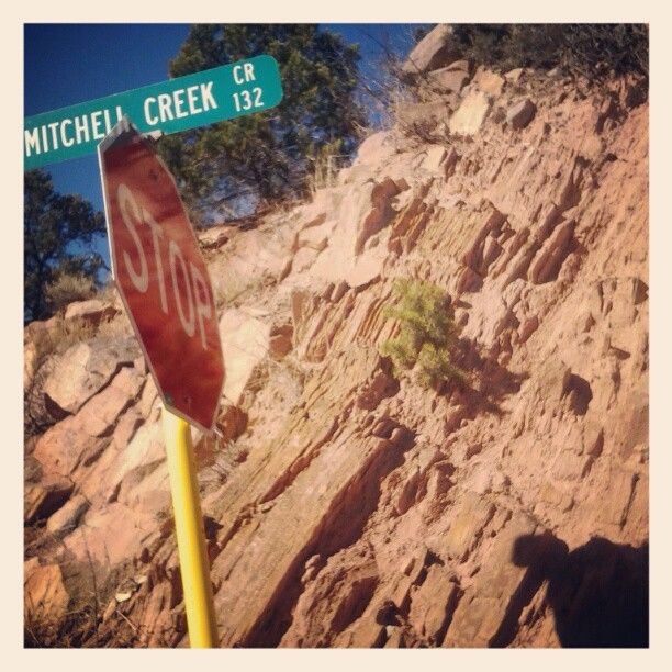
♫ Up on Mitchell Creek, she sends me... ♫
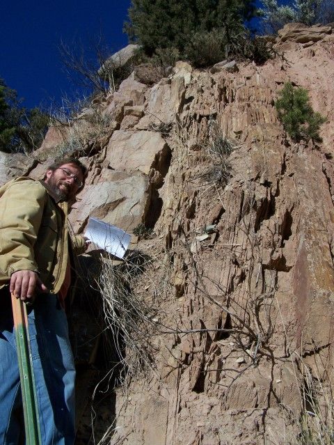
What we are seeing here, besides the badly leaning stop sign, is a near vertical uplift of "sandstone and shale of the Permain Cutler Formation. These strata represent sediment shed off of ancient Uncompahgria during the Colorado orogeny. The sandstones are fluvial channels (arkoses) and the shales are flood-plain deposits." Sounds dirty, doesn't it? Orogeny. Yes, I am juvenile.
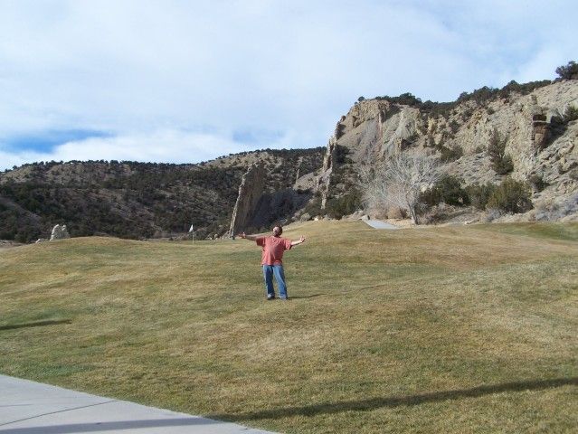
Another vertical uplift "the upturned edge of the Upper Cretaceous Mesaverde Group (Williams Fork and Iles Formation)", just past the Wasatch Formation, is now right on a golf course.
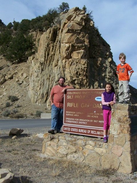
Further up the road however is a much larger portion of it at the Rifle Gap Dam. The Gap being the way through the hogback.
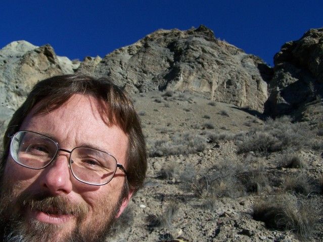
I would like to point out at this stage of my blog entry Rob is interjecting with "Look at this fossil! It's a soft-bodied creature similar to a jellyfish... " and pointing at a picture in one of his textbooks. He's just as excited about geology as a five year old about bulldozers. It's so cute. And annoying. But I digress.
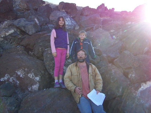
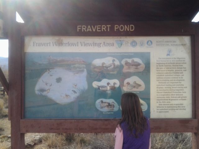
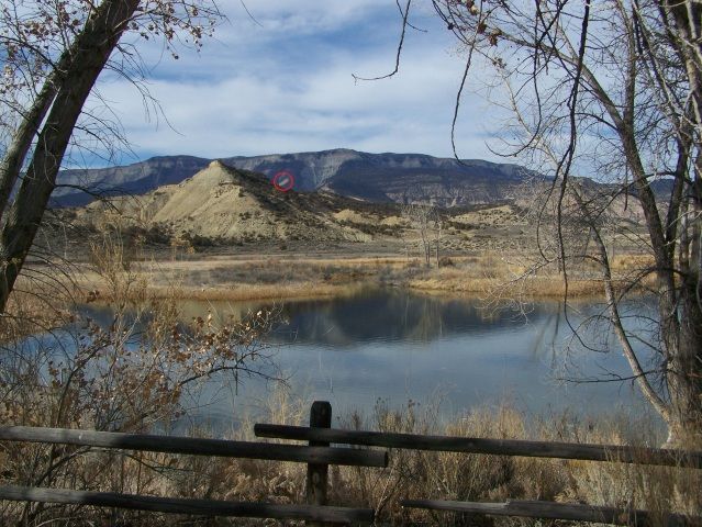
Last stop was at Fravert Pond. What? You've never heard of Fravert Pond? Yeah, neither had I. But it was pretty and the day was gorgeous and I must say it was a nice place for the kids to explore.
What we looked at here is "the Rifle Meteorite crater, which is visible in the far distance on the flanks of the Roan Cliffs. The crater, which is hotly disputed, consists of an orange-colored scar on the southeast face of the distant cliffs. It looks like a landslide, not a crater. A meteorite was collected here back in the early 1900's; however, it is not known if it came from the orange-colored area on the hill slide."
We would have spent the entire rest of our Sunday out there among the rocks had we not had to rush home for Rhetta's dance recital. BUT, this whirlwind field trip was worth every minute. The whole family enjoyed it and I got to photograph it to boot.
2 comments:
Wow, I love it!! I had this window open on my computer all day, waiting until I had a few minutes to look at it. Terrific! So different than the geology here.
tina
dfher [url=http://www.drdrebeatscheapsales.com]beats by dre outlet[/url] jfgpsj http://www.drdrebeatscheapsales.com rtog [url=http://www.drebeatsstudioheadphones.com]beats by dre sale[/url] ghrgfo http://www.drebeatsstudioheadphones.com aphl [url=http://www.beatsdreheadphonesonsale.com]beats by dre sale[/url] zpfmai http://www.beatsdreheadphonesonsale.com drktq [url=http://www.dreheadphonesonsales.com]beats by dre headphones[/url] tbjven http://www.dreheadphonesonsales.com prcjg [url=http://www.drdrebeatssales.com]beats by dre sale[/url] qxaox http://www.drdrebeatssales.com uezyr [url=http://www.focsa.org.au/myreview/beatsbydre.phtml]cheap beats[/url] grunp http://www.focsa.org.au/myreview/beatsbydre.phtml bmg
Post a Comment